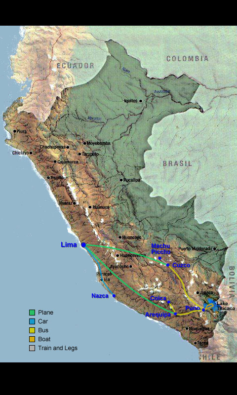
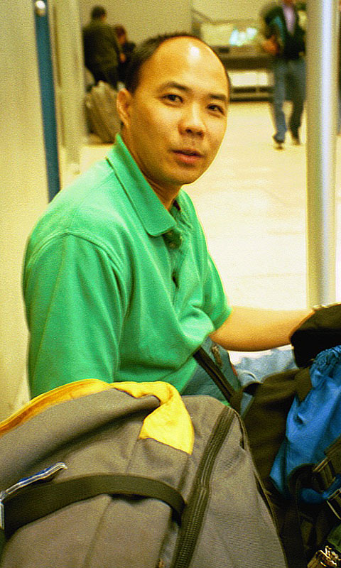
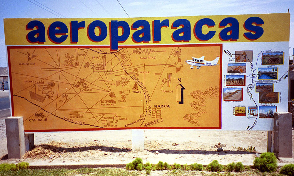
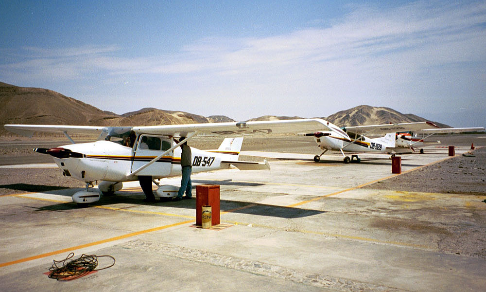
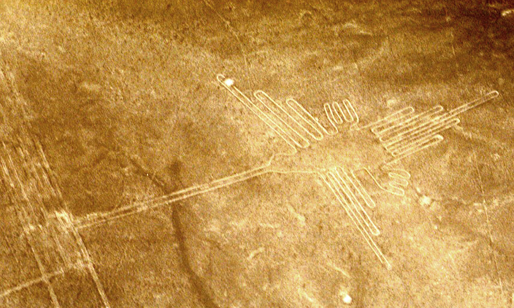
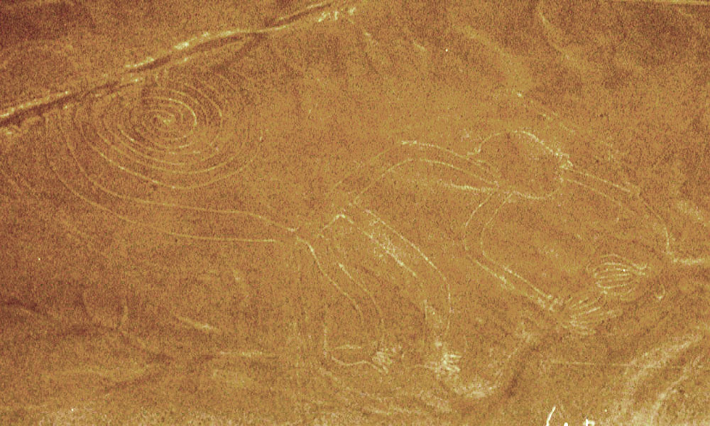
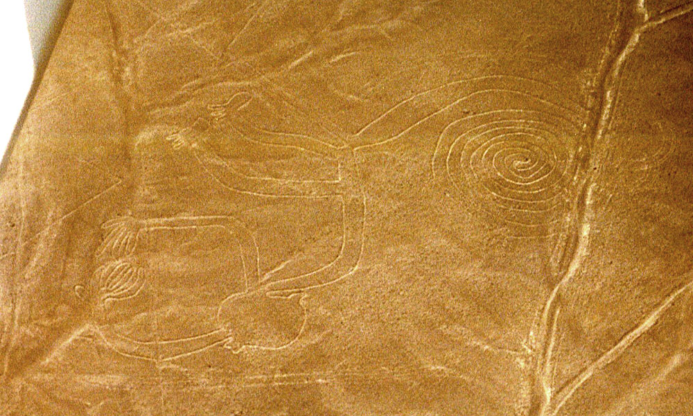
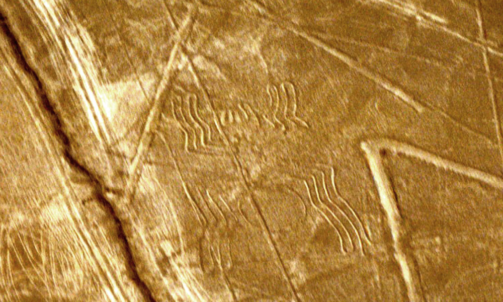
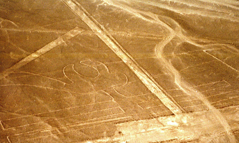
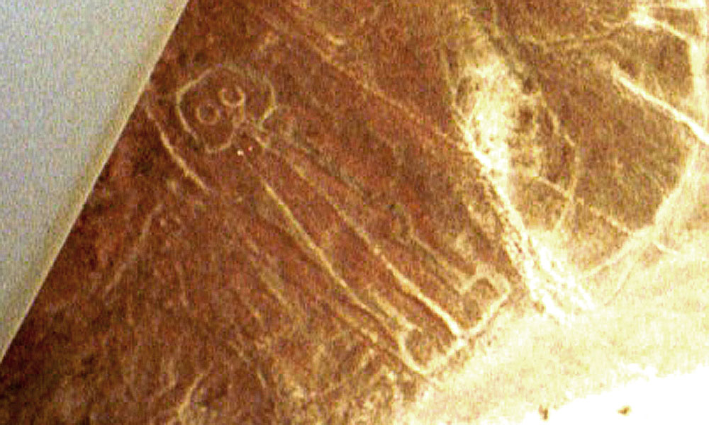
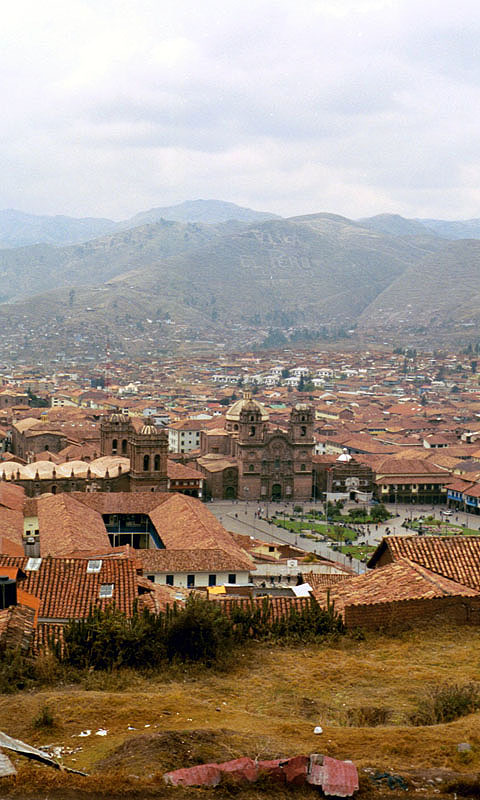
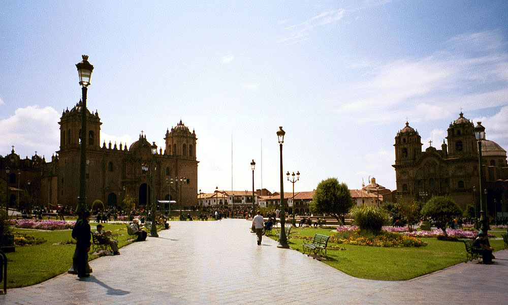
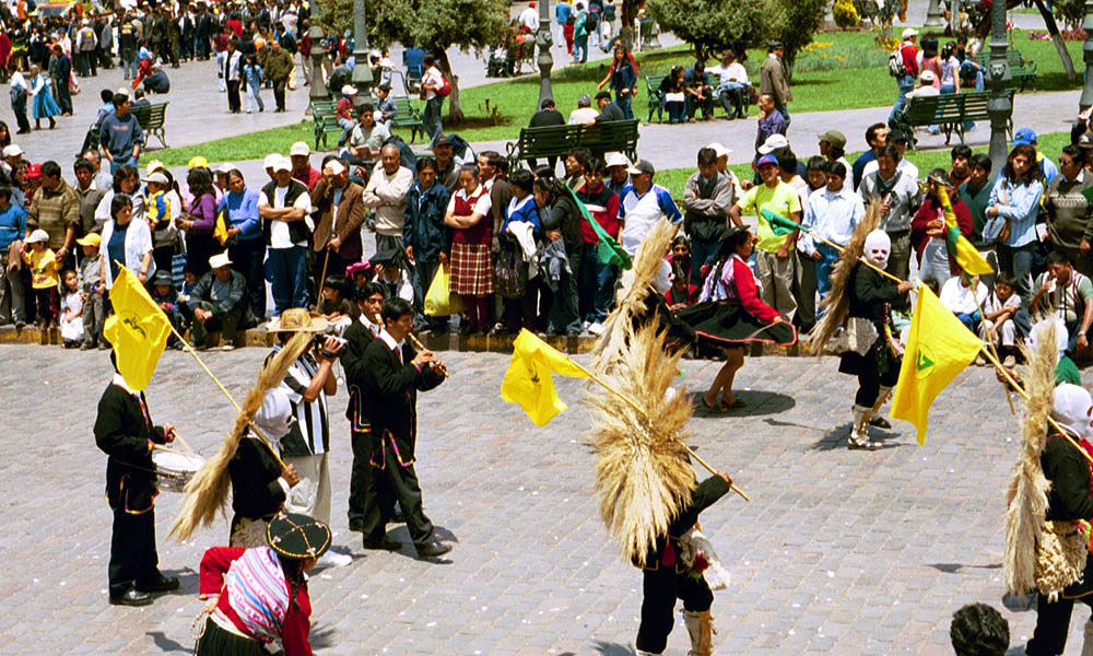
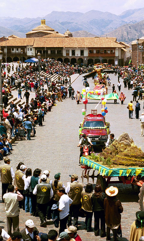
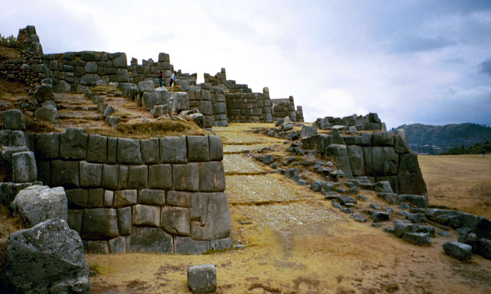
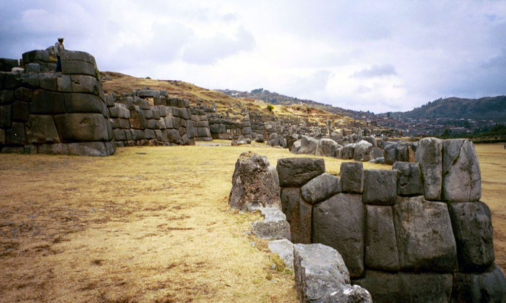
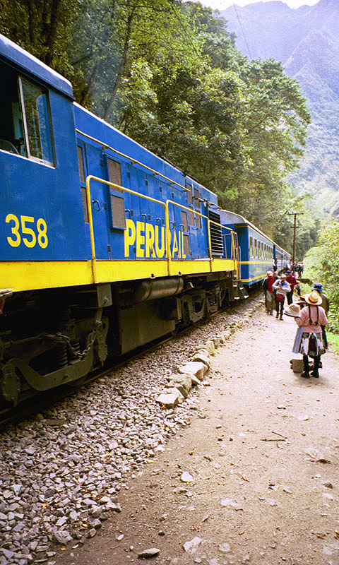
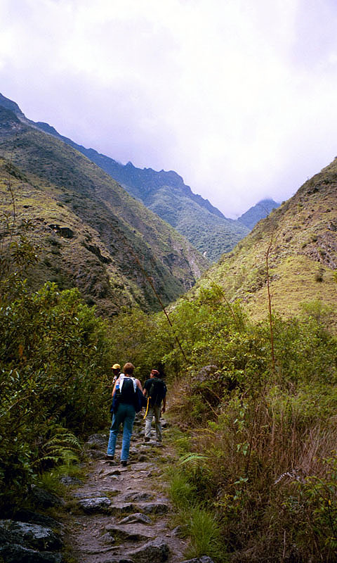
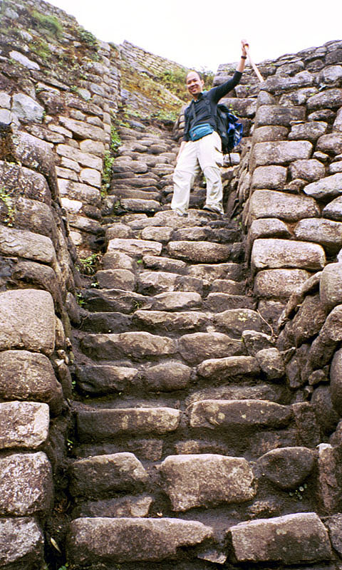
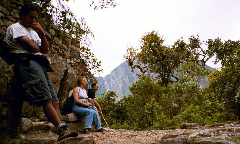
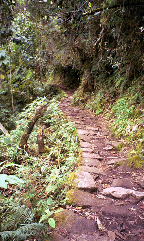
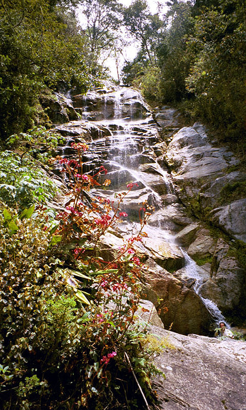
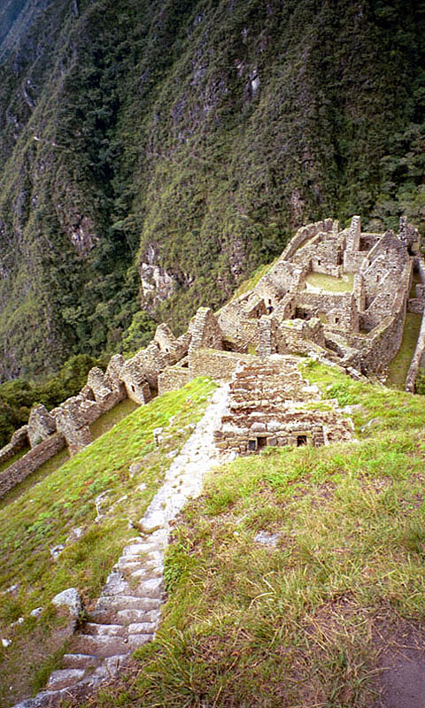
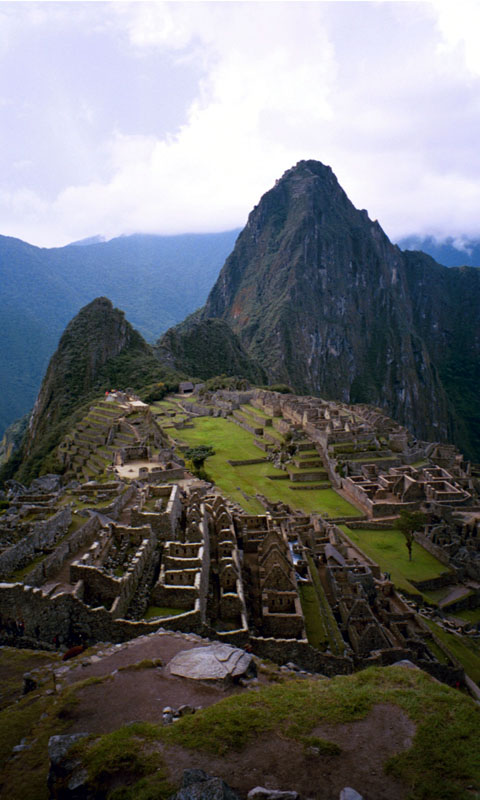
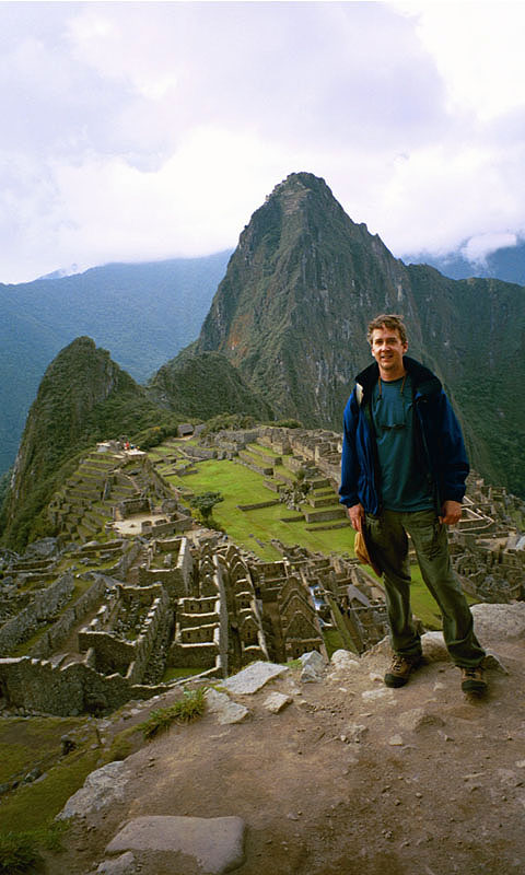
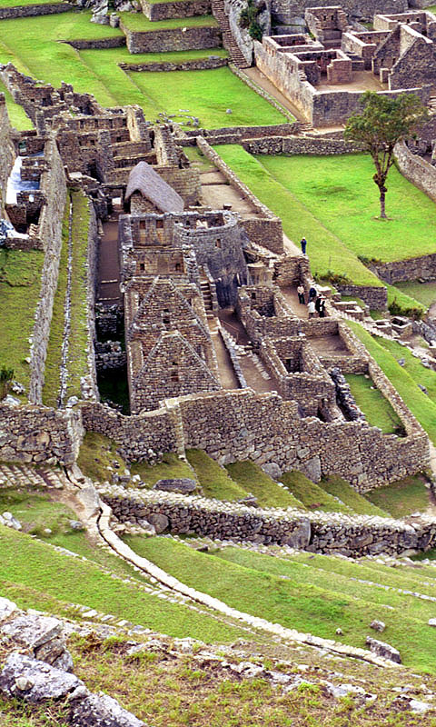
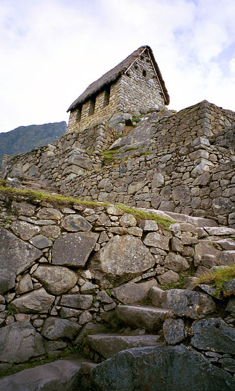
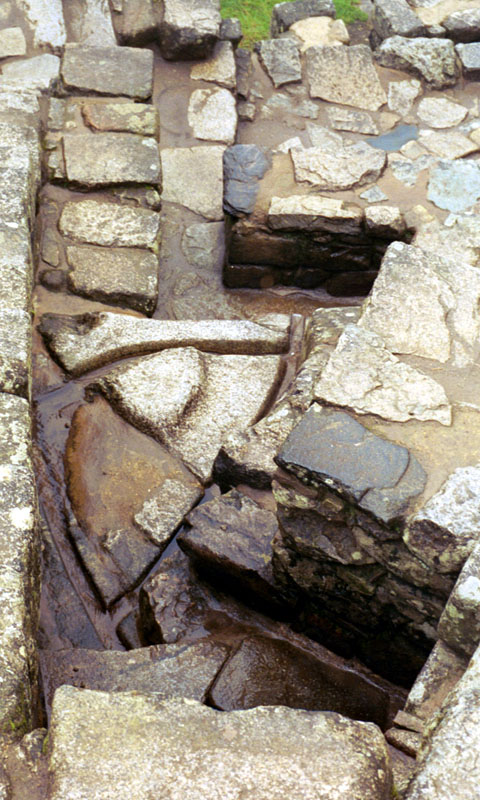
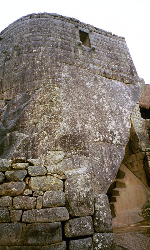
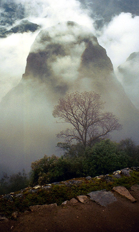
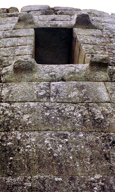
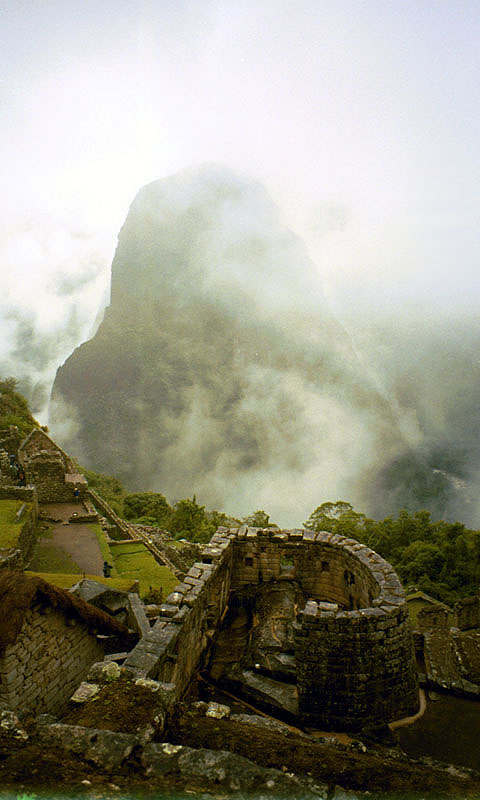
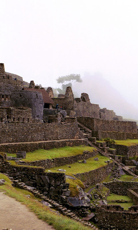
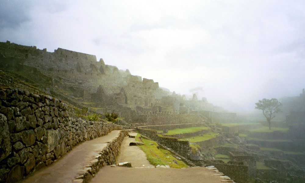
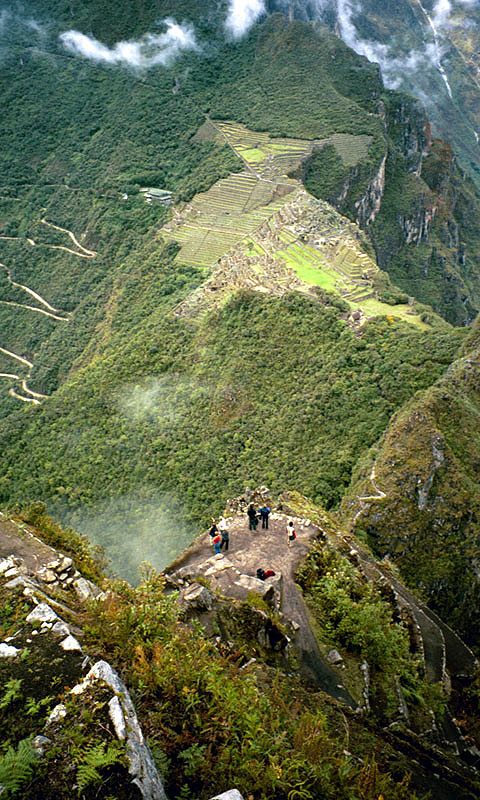
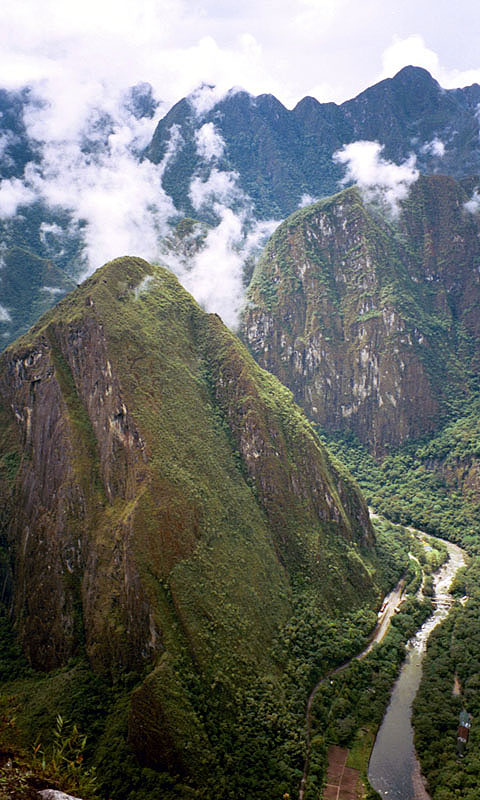
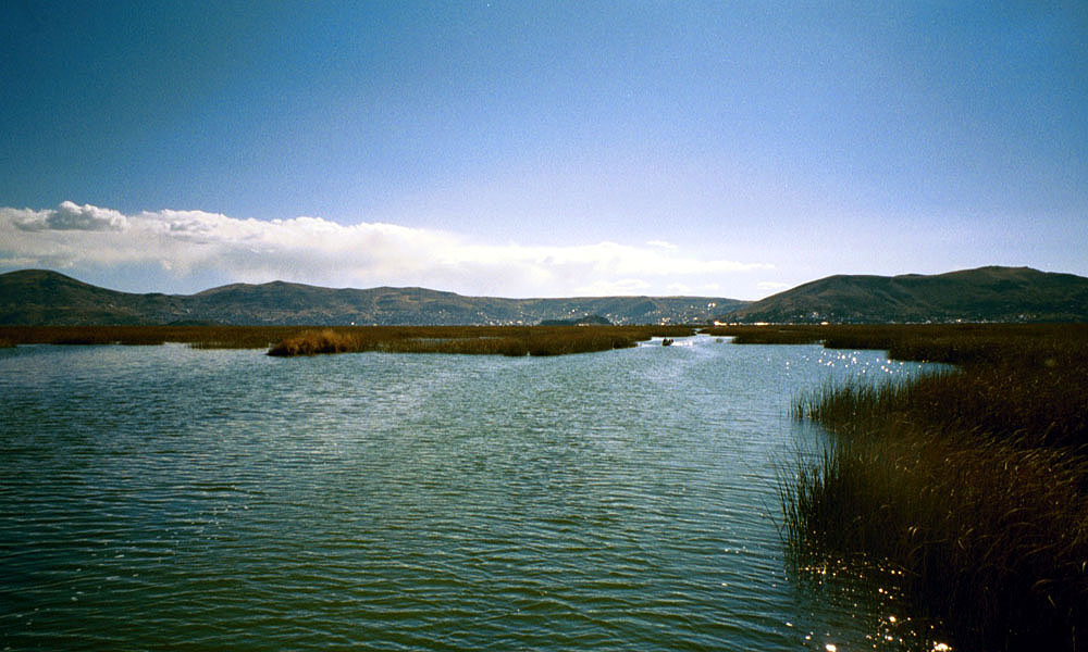
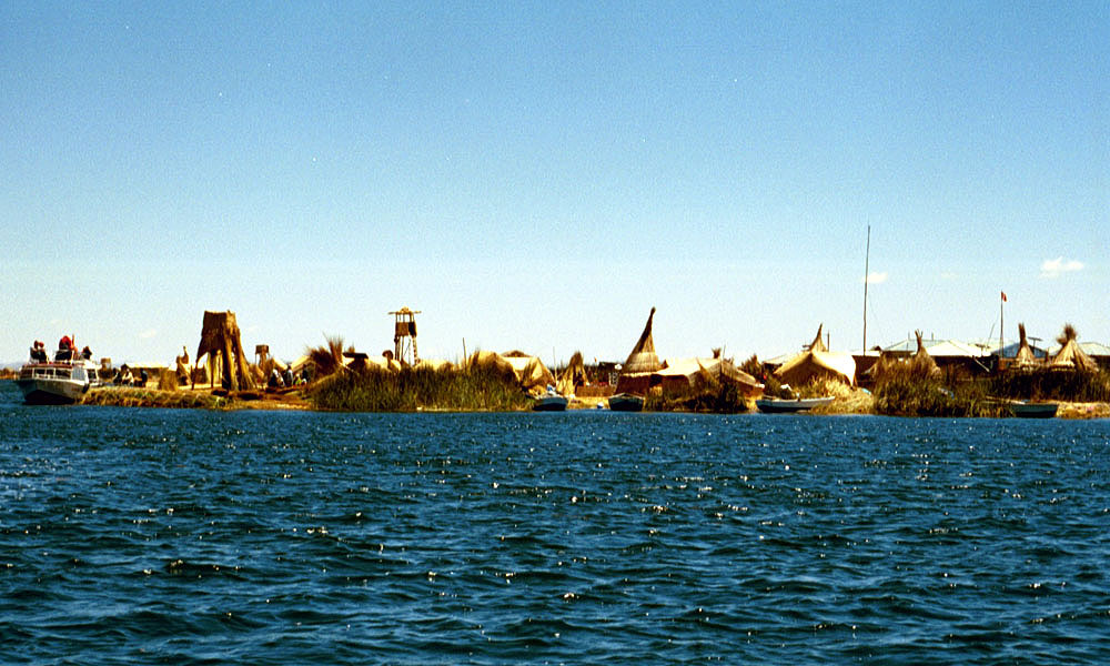
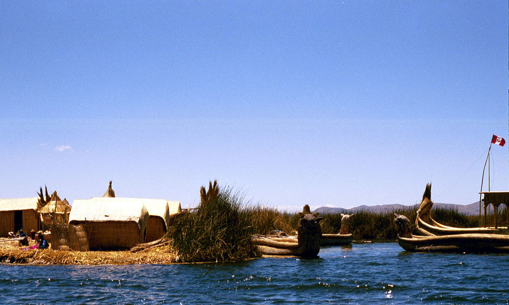
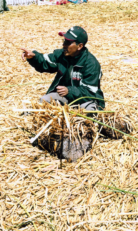
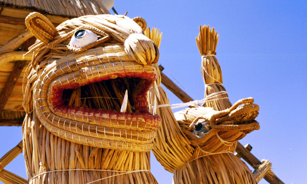
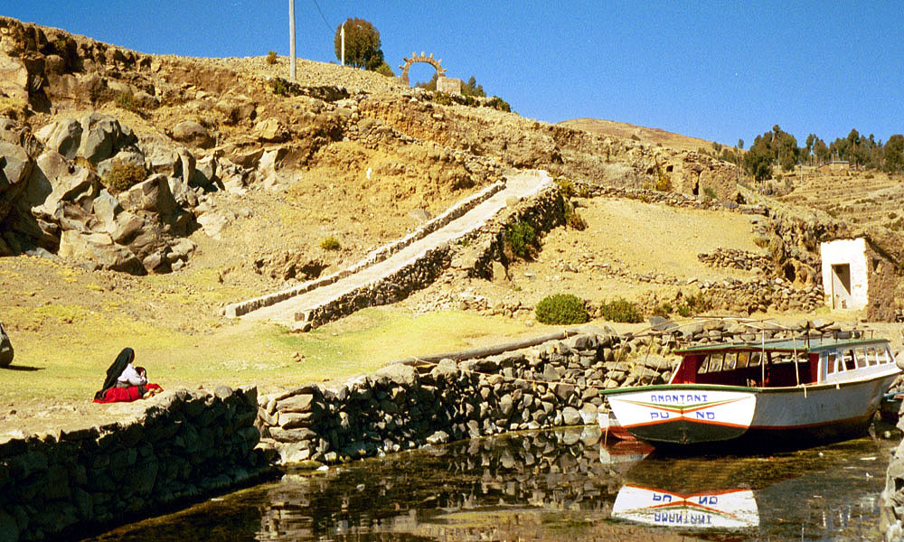
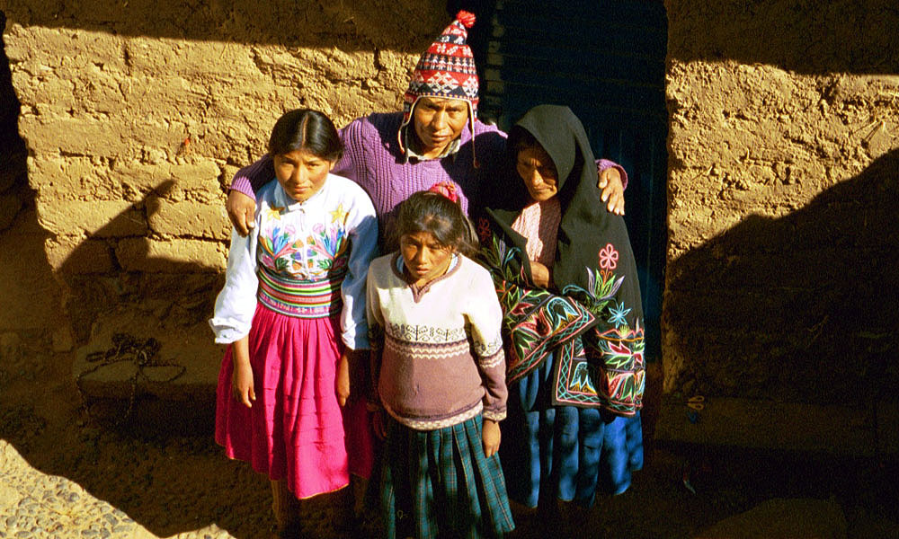
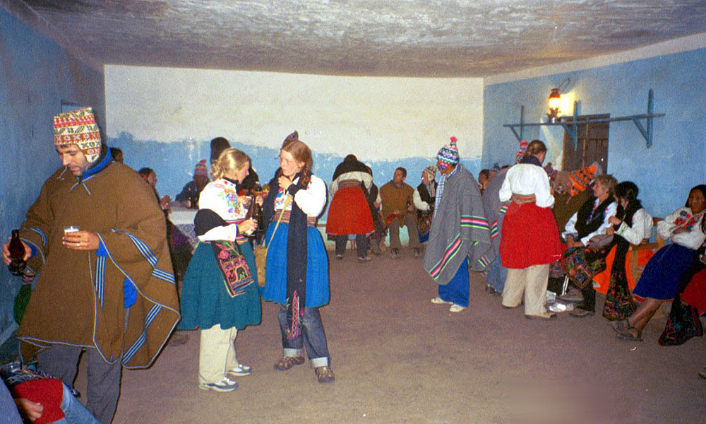
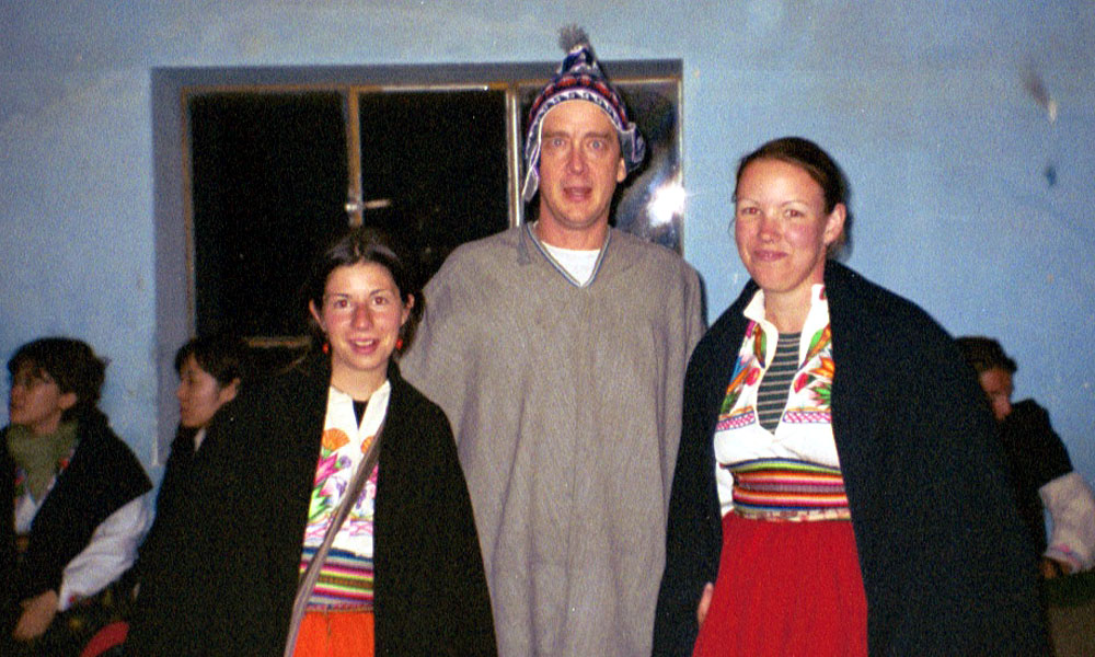
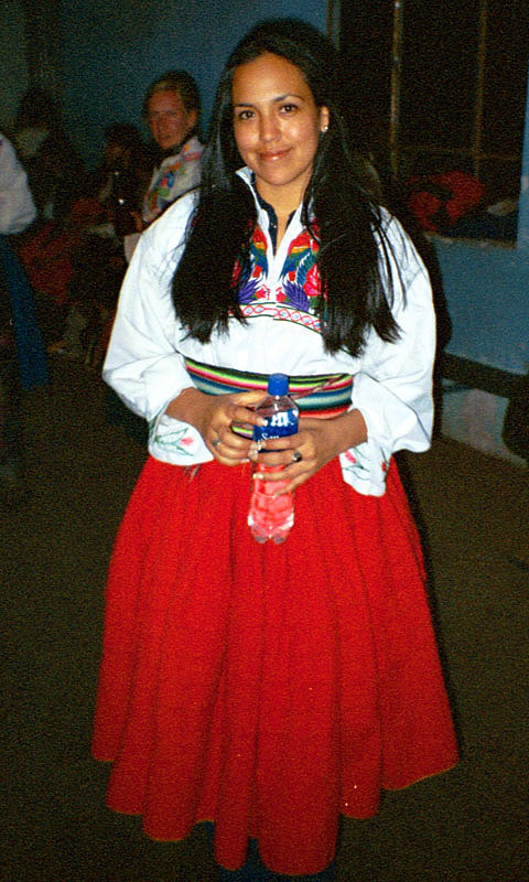
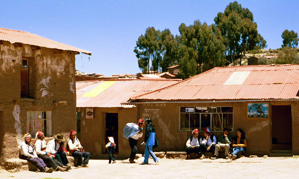
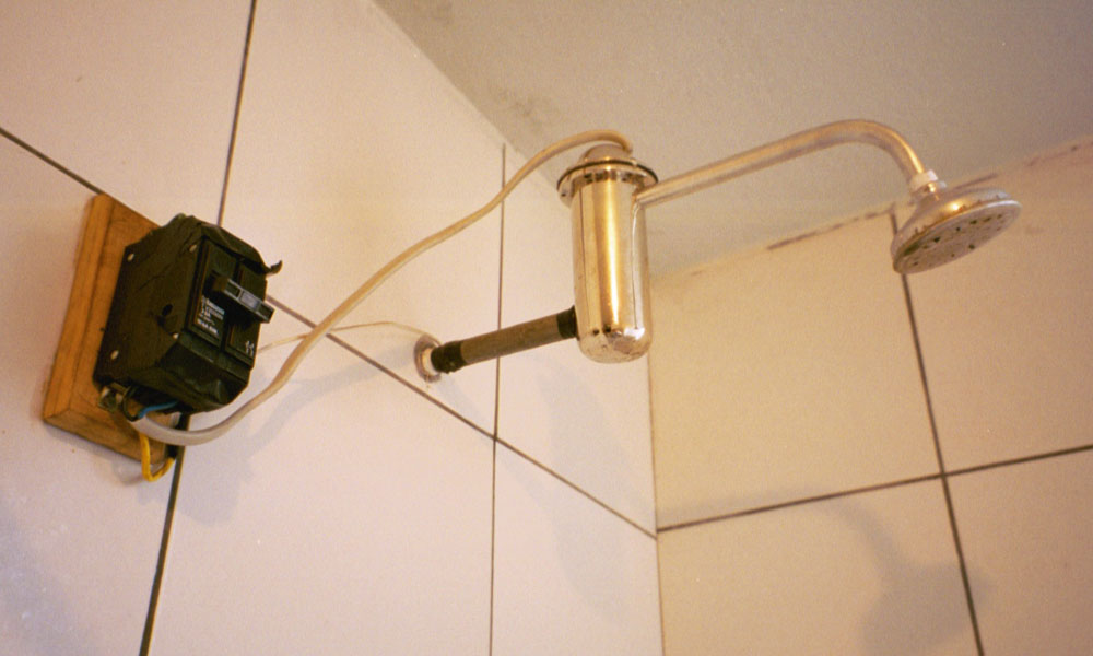
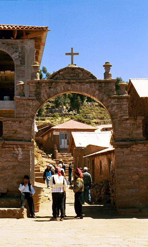
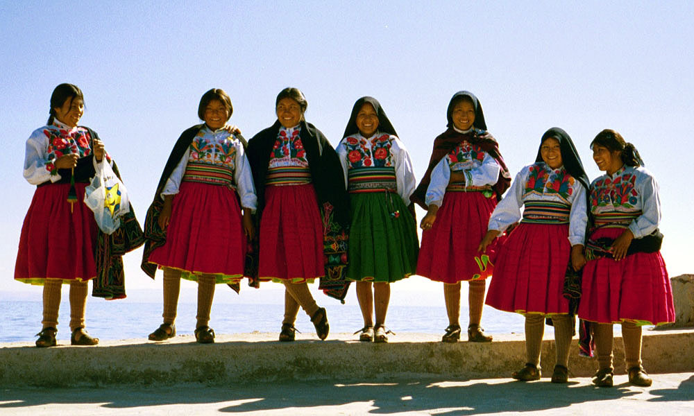
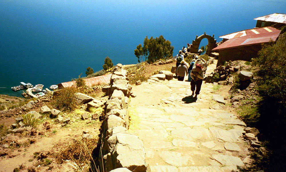
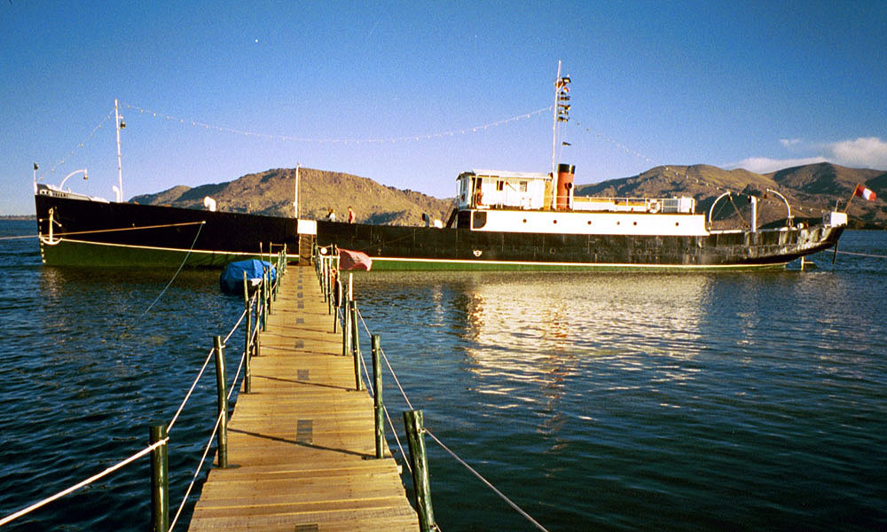
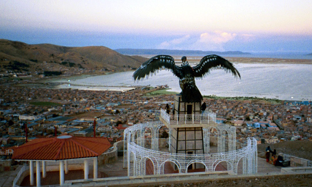
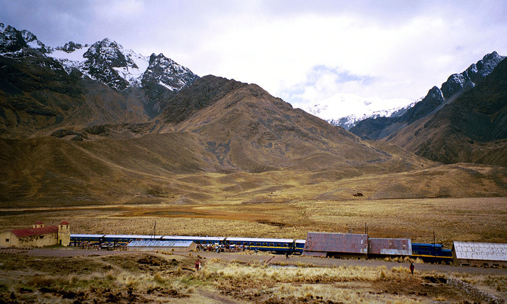
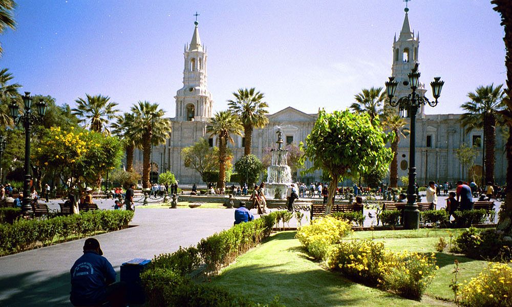
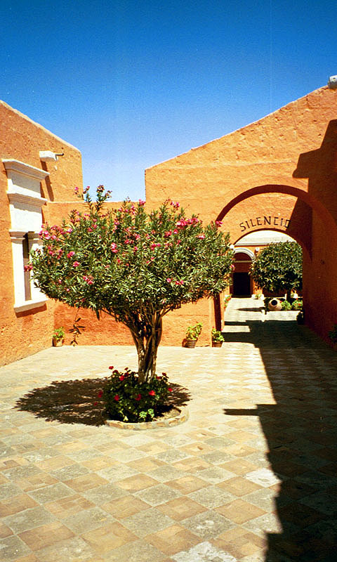
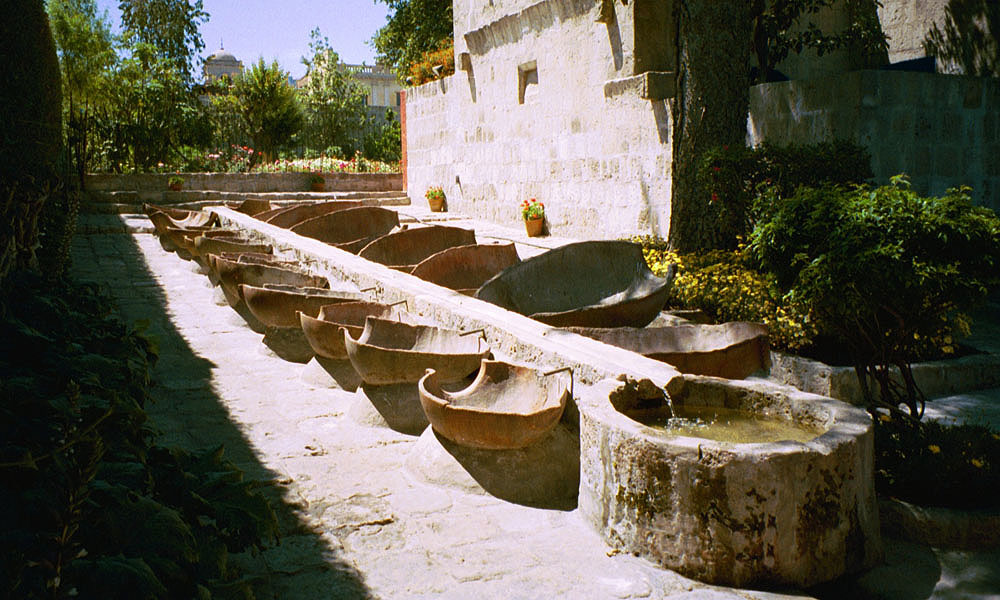
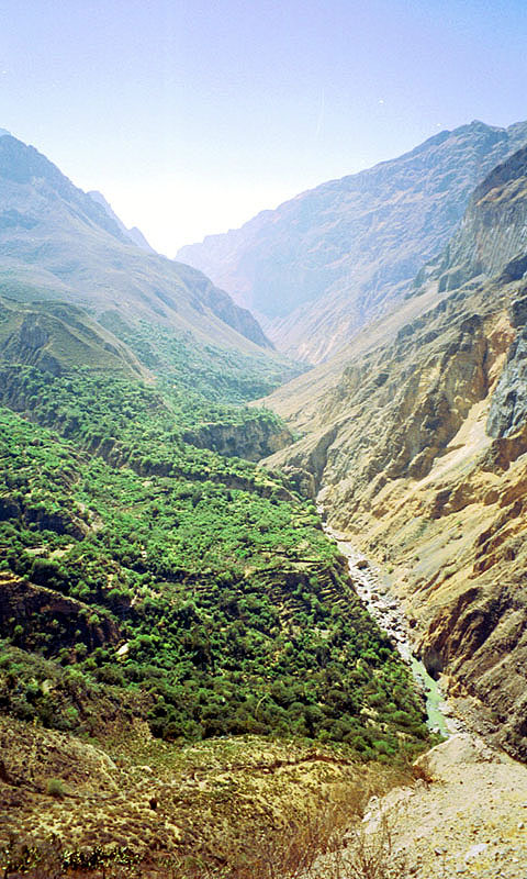
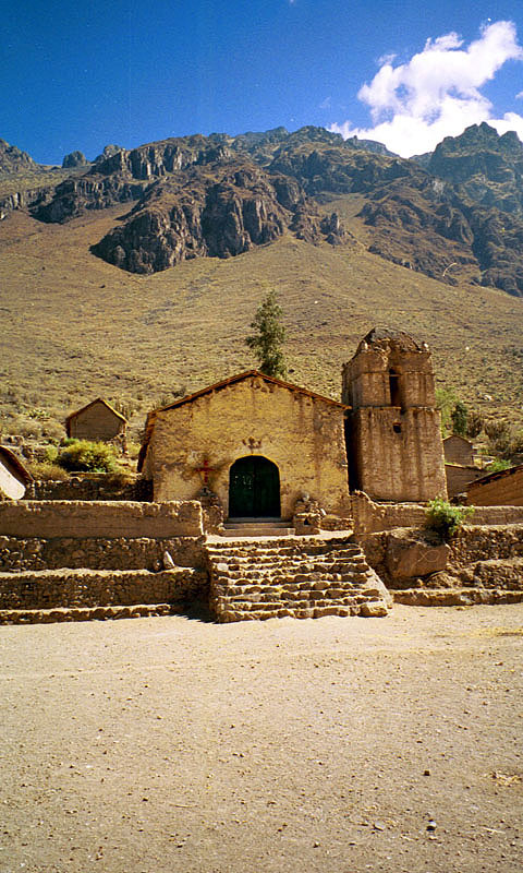
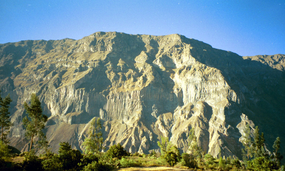
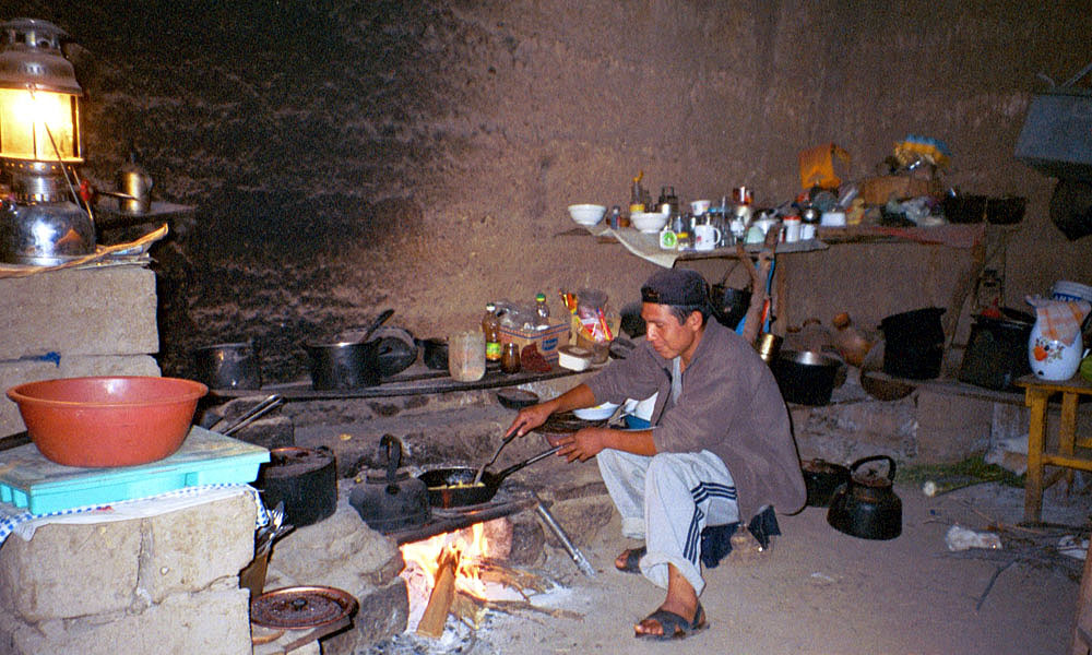
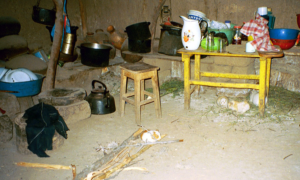
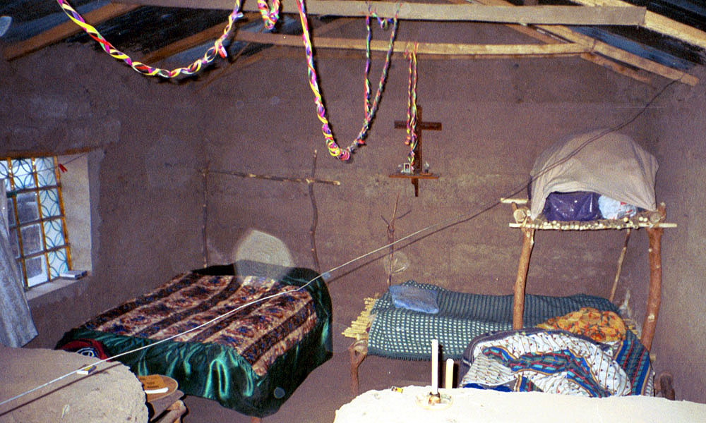
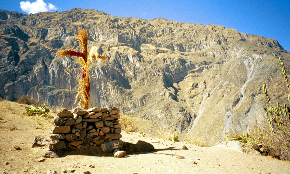
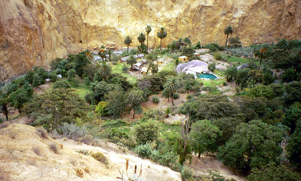
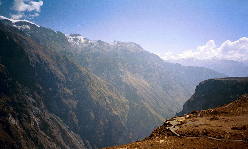
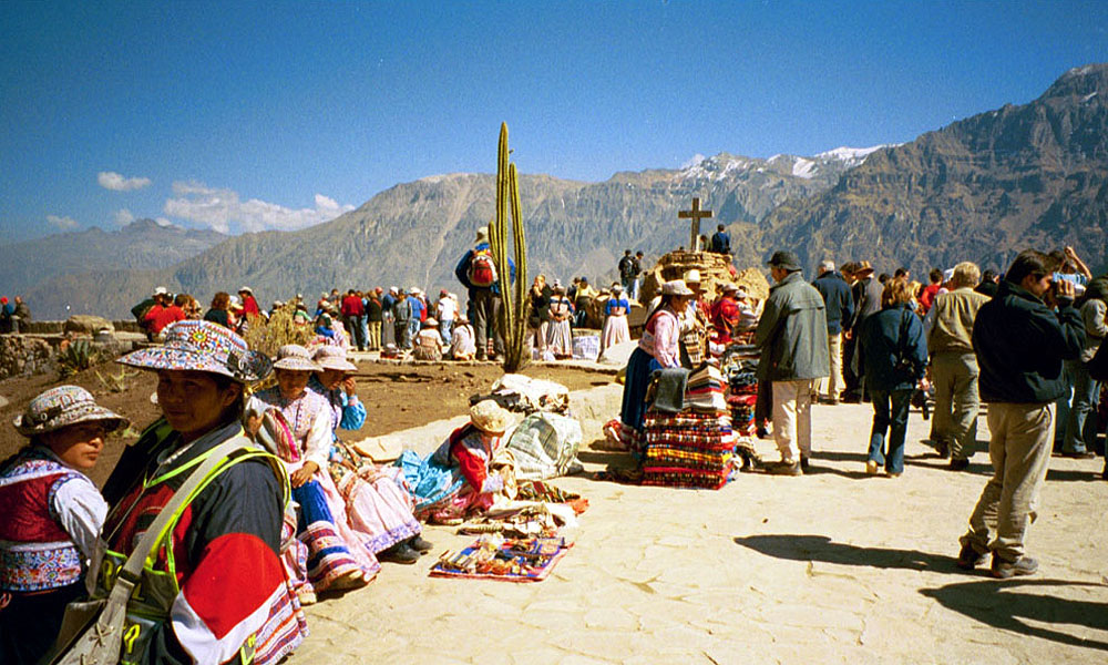
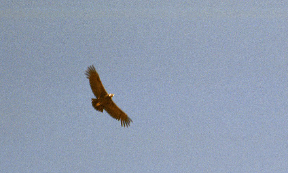
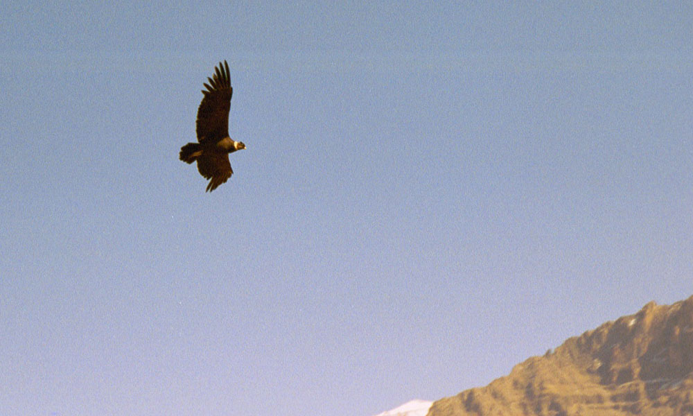
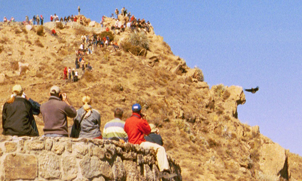
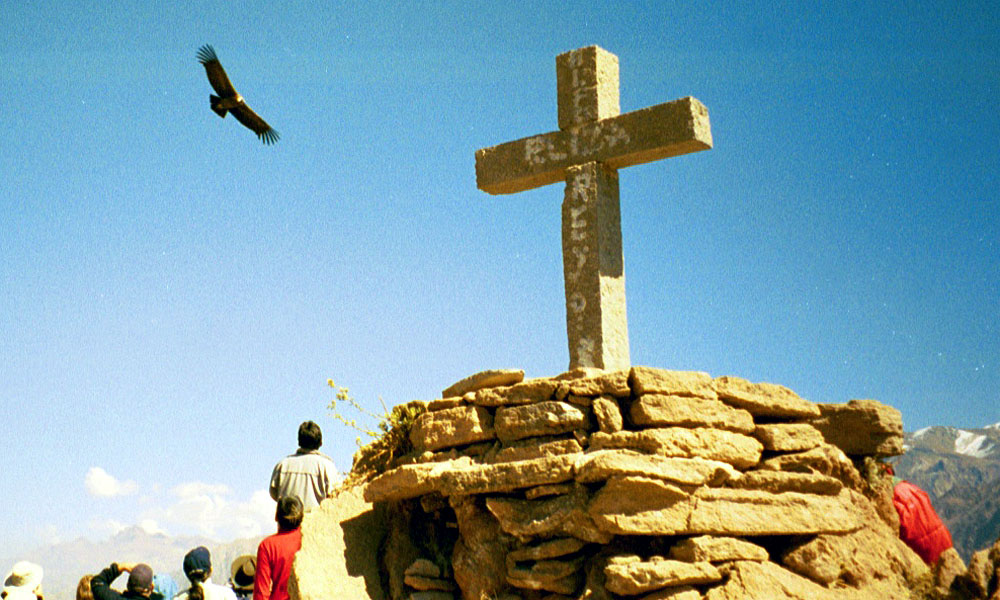
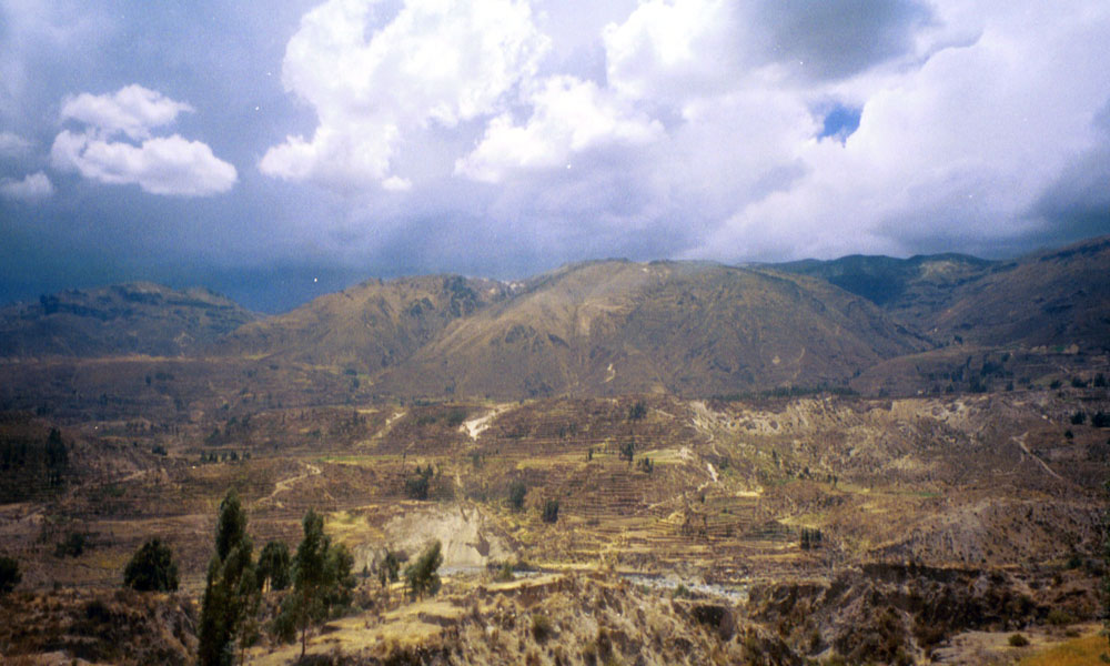
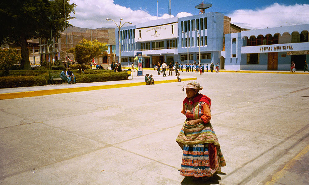
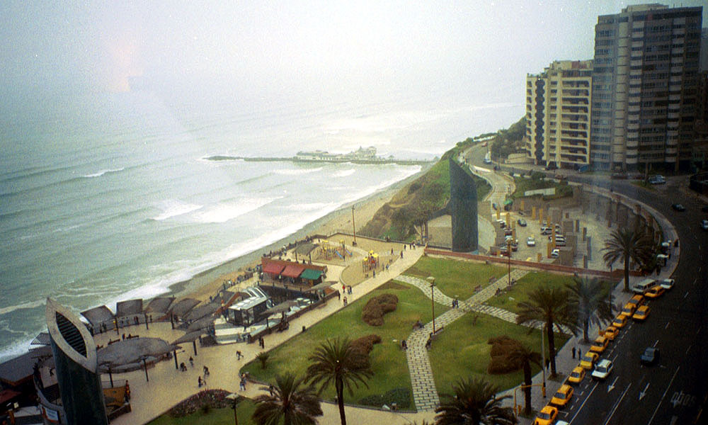
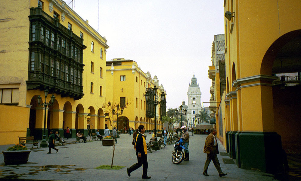
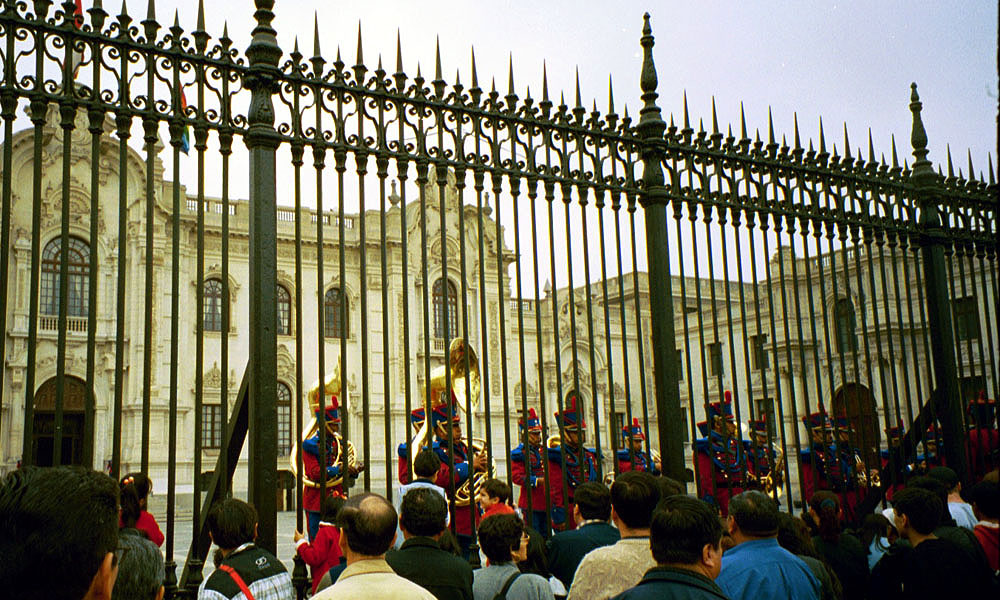
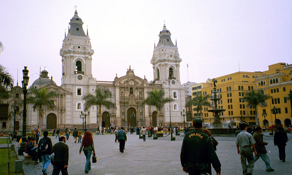
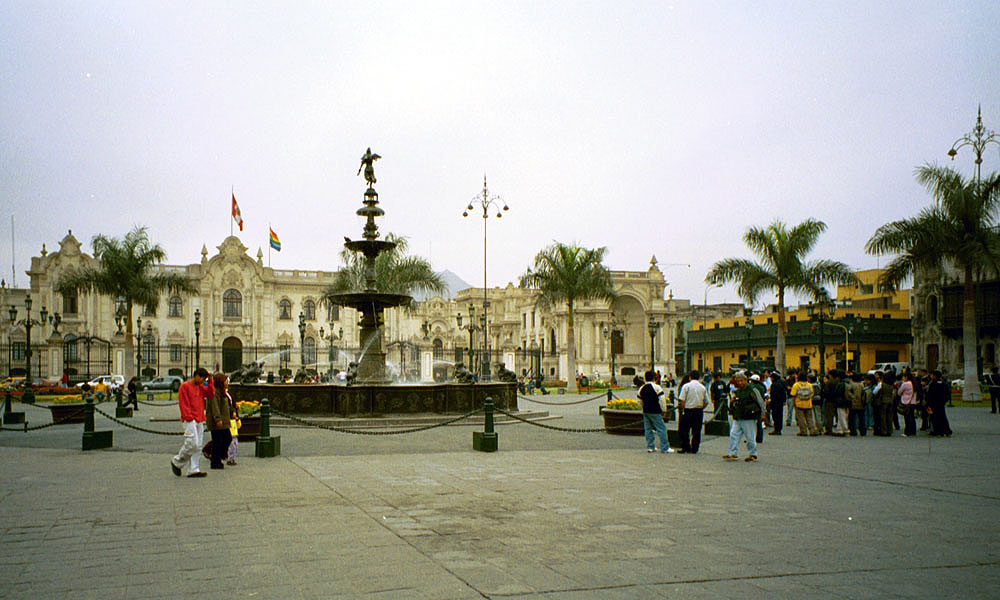
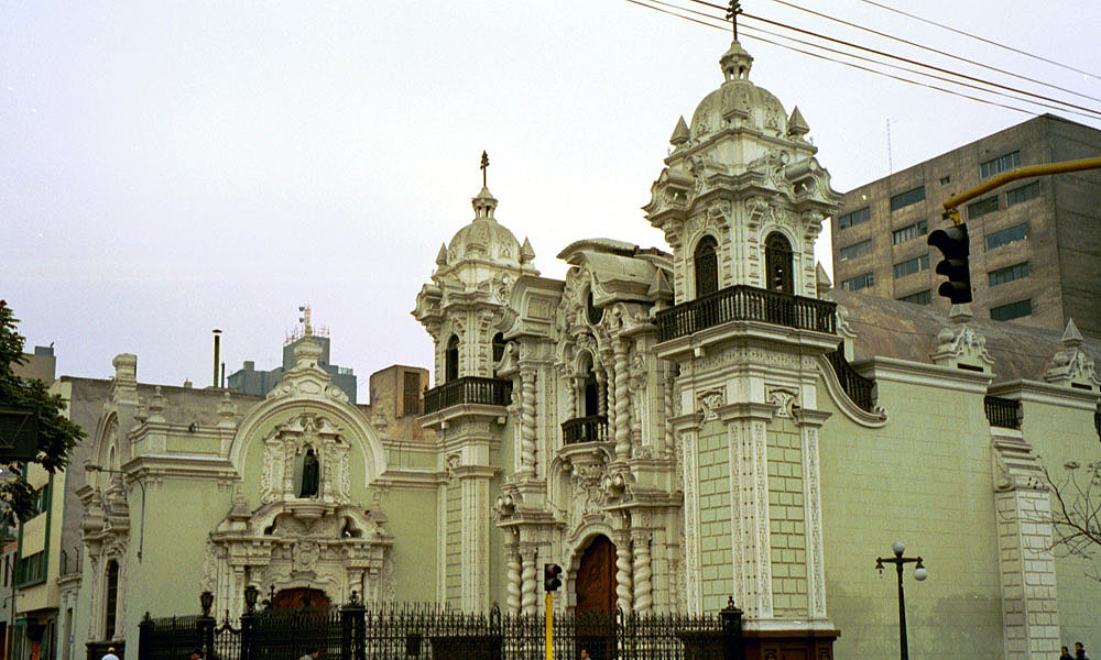
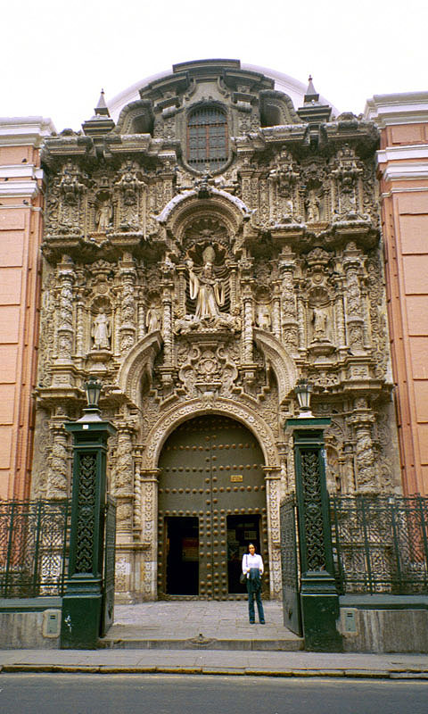
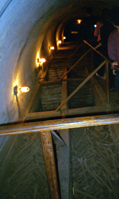
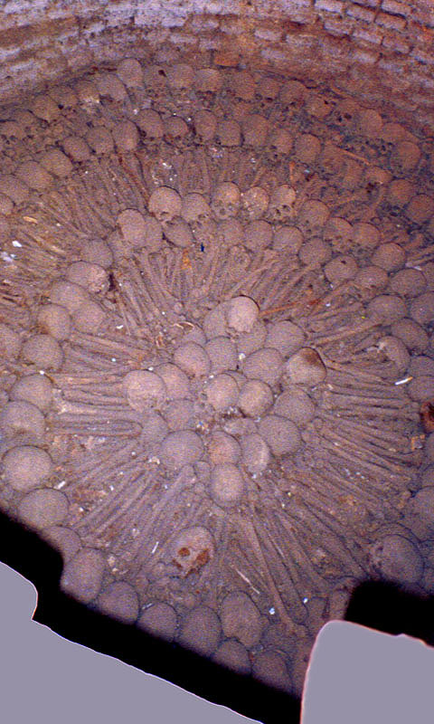
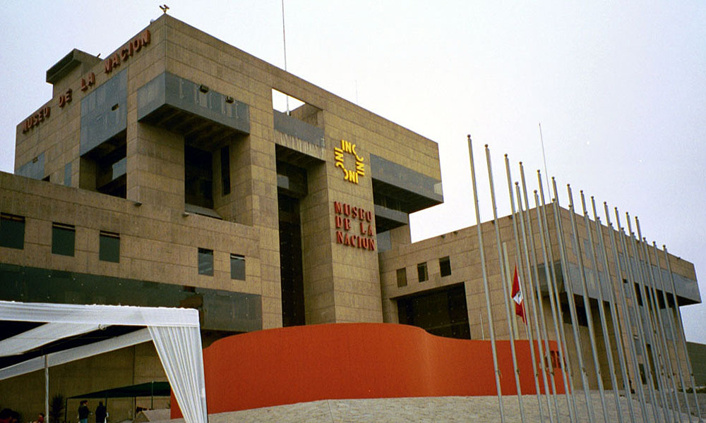
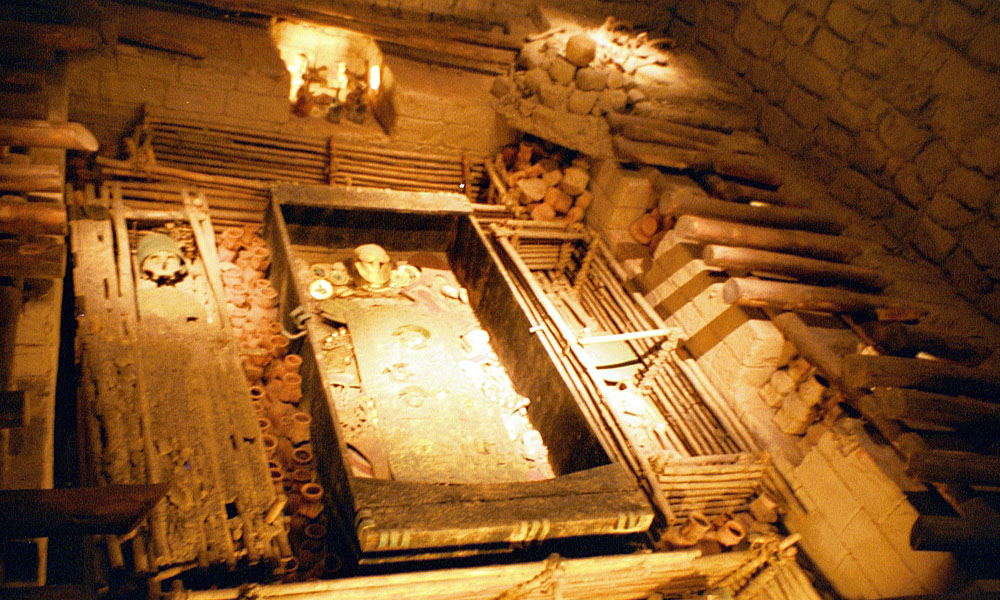
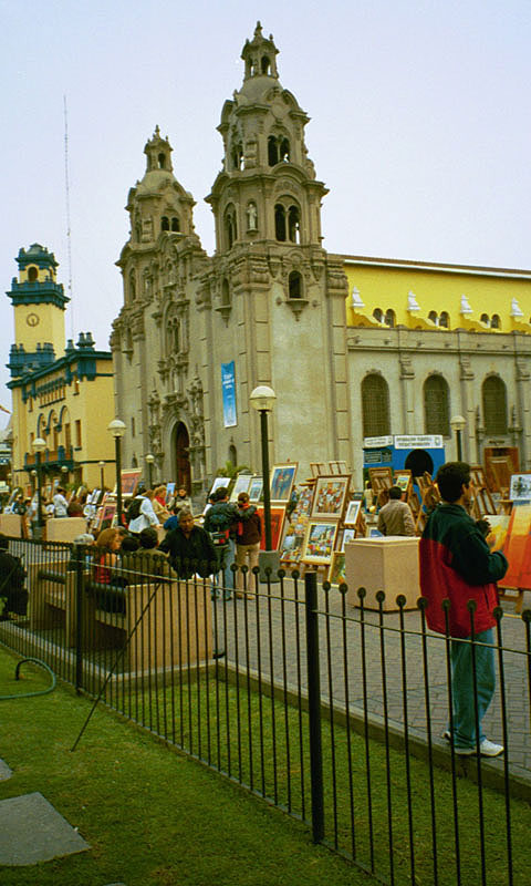
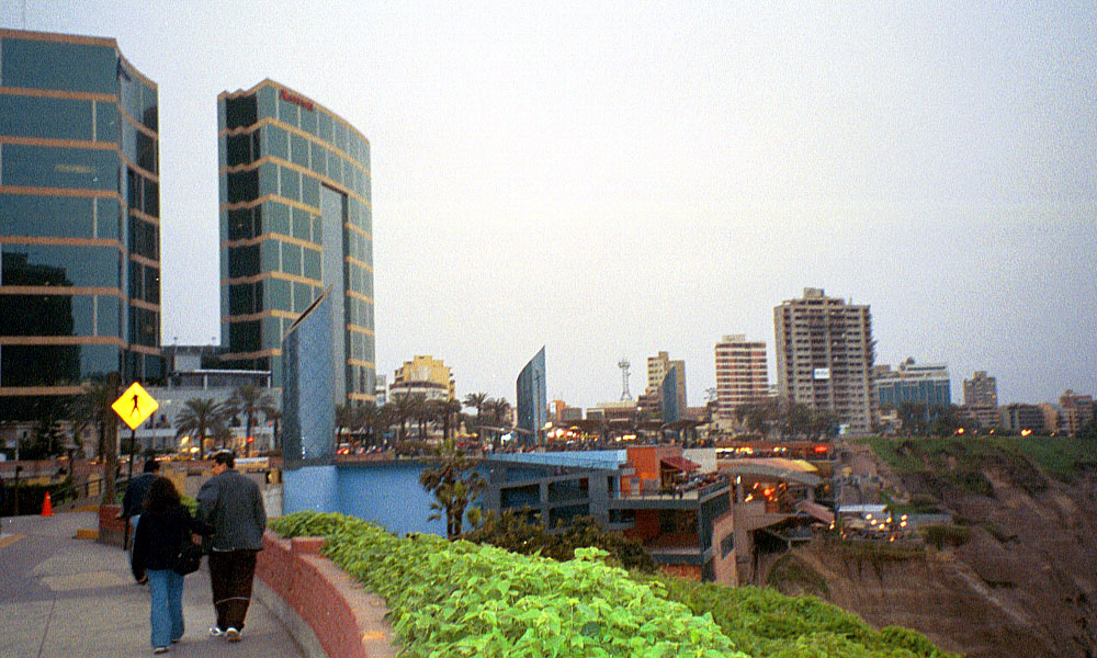
Handy map showing my routeKevin, realizing he was in the Lima airportNazca lines flight mapOur chariot of the godsThe CondorThe MonkeyThe Upsidedown MonkeyThe SpiderThe CrabThe Astronaut, waving a greetingCity of Cusco, the ancient Inca capitalCusco Plaza, home of direct salesInca/Spanish blending of costumes and mythThe weekly Cusco Sunday paradeSacsayhuaman fort above Cusco. Also known as "sexywoman" among tourists.A view of the fort walls. Cusco is laid out according to a puma plan, the fort serves as the head.Jumping off the train to start the Inca TrailStart of the Inca Trail (the two-day one anyway)One of the many stairs along the trail. Kev is feeling good now that he's got a walking stick.Taking a break on the trail. Our guide Rueben is on the left, our trailmate June is next to Kev.The Inca Trail proper, still walkable centuries laterThe waterfall just before Huinay Huayna (Forever Young) ruinsThe Huinay Huayna ruins after a long climbSome more ruins of something--oh, Machu PicchuI'm king of the ancient world!The royal observatory is the curved tower at center, the only building with non-rectangular wallsHut of the Caretaker of the Funerary RockStill-functioning Machu Picchu irrigation systemThe royal observatory. The various windows line up with sun sightings on the equinoxes.Machu Picchu at dawn, looking out into the valley beyondAll the walls in the sacred quarter were precisely fitted with no mortarThe royal observatory with Huayna Picchu beyondThe sacred quarter, free of tourists (almost)The main courtyard and sacred quarterA view from way on top of Huayna Picchu, looking down at Machu Picchu. Kev and friends are standing just below.Machu Picchu valley. Aguas Calientes is just around the bend in the river.Kevin went home after Machu Picchu, something about a wife and kids waiting for him. So I took a bus to Puno and headed out to the fabled floating islands of Lake Titicaca, two miles above sea levelOne of the floating islands. Natives have lived here for centuries, building 2m thick mats of reeds on which to live.A typical village with working boatsThe construction method for creating the islands--take a reed stump and start twisting reeds into it.A couple of boat prows. Note the use of soda bottle bottoms for the eyes.Boat landing for Isla Amantani where I will spend a night with a local familyAnd here's the local familyThere's no electricity on Amantani so when the sun goes down, it's real dark. But there's Coleman lanterns and beer so everyone gets dressed up and goes dancing. If the altitude doesn't get you, the dancing will.My roommates--Noemi from Spain and Megan from Melbourne, AustraliaGrethle, a native Lime a (from Lima that is) who graciously volunteers to show me around her city when I arrive there a week later.Isla Taquile locals hanging out in the plaza.Your basic hot shower. Note that if you forget to turn off the breaker after shutting off the water, the heating chamber will fry. Also note lack of instructions.Taquile square. Interesting to note that single and married people wear different hats, and the positions of the hats indicate whether they're having a good day or bad.A group of Taquile women, all apparently having a good dayThe Descent of 550 Steps to leave Taquile islandThe venerable SS Yavari, a ship that was hauled in pieces up the Andes to the lake back in the mid-1800s. Rescued from destruction, it is now being restored for future journeys.The Condor Mirador (watchtower) high above the city of Puno, overlooking Lake TiticacaA view on the way from Puno to ArequipaThe beautiful plaza of ArequipaInside the infamous convent of Santa Catalina in ArequipaThe wash tubs where centuries of nuns scrubbed, Santa Catalina conventThe mighty Colca Canyon, deepest in the world and scenic to bootA village church in the canyonThe canyon from outside the village. We started waaay at the top, about at the center of the photo.Dinnertime at my host's house--alpaca steaks. I stayed one night here after climbing down the canyon.No cuy (guinea pig) was served that night, so they felt safe to scurry around the floor and look cute. And yes, they taste like chicken.The night's accommodationsA memorial to one of the last Inca-Spanish battles that took place deep in the ColcaAh, the Oasis at the bottom of the canyon. We're heading for the hut with the pool.The Cruz de Condor on the rim of Colca CanyonThe great tourist mart for those waiting to see the condorsYep, a condor. He's got a nine-foot wingspan, but it's hard to tell here.Making another passOne coming in to land and sun himself. Note the scale with humans on the hill.Coming around for another look at the tourists, the Cruz de Condor in the foregroundFurther up the canyon. Note the terracing of the entire valley, the result of centuries worth of labor.The plaza of Chivay town, on the way from Colca back to ArequipaLima, Miraflores district, the view from my five-star hotel (what the hell, it was my last night in Peru)Plaza San Martin, the plaza at the heart of LimaChanging of the guard at the Lima capitol buildingLima's main cathedral, La Catedral right on the Plaza de ArmasPlaza de Armas in central LimaOne of the many central Lima churchesGrethle outside of the church of San FranciscoThe catacombs of San Francisco--the bones in the foreground are piles 4m deepThe very decorative Well of Souls in the San Francisco catacombsThe Lima National MuseumCusco royal burial chamber, reconstitutedA typical Miraflores church on the plazaThe last evening in Peru, walking back along the Miraflores shoreline
Say Something...